
Designing solar systems on uneven terrain requires specialised approaches to overcome shading, structural, and accessibility challenges. Modern solar design software with terrain modelling capabilities transforms complex topographical projects from months-long manual processes into efficient, automated workflows. This comprehensive guide addresses the key questions engineers face when tackling challenging terrain installations.
What makes uneven terrain challenging for solar system design?
Uneven terrain creates multiple technical challenges, including inter-row shading from elevation changes, complex structural requirements for varying slopes, drainage management issues, and difficult equipment access. These factors significantly impact both system performance and installation costs compared with flat-ground projects.
The primary challenge stems from shading calculations, which become exponentially more complex on irregular surfaces. Traditional flat-ground assumptions fail when terrain varies, requiring sophisticated 3D modelling to predict energy production accurately. Elevation changes create shadow patterns that shift throughout the day and across seasons, making manual calculations extremely time-consuming and error-prone.
Structural complications arise from varying soil conditions and slope angles across the site. Different areas may require distinct foundation approaches, from driven piles in stable soil to ballasted systems on rocky outcrops. This variability complicates procurement planning and increases material costs due to the need for multiple mounting system types within a single project.
Drainage becomes critical on sloped terrain, where water runoff can cause erosion around foundations or create flooding in low-lying areas. Poor drainage planning can lead to costly remediation work and long-term system reliability issues. Additionally, construction access becomes challenging when equipment must navigate steep slopes or unstable ground conditions.
How do you assess and analyse terrain before designing a solar system?
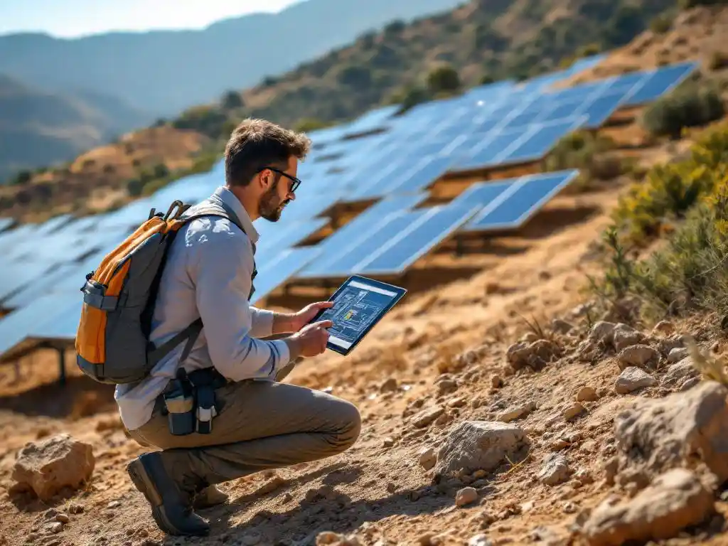
Terrain assessment begins with topographical surveys using drone mapping, LiDAR scanning, and ground-based measurements to create detailed digital elevation models. Soil analysis determines foundation requirements, while slope calculations identify optimal panel placement zones and potential problem areas.
Modern assessment workflows start with drone-based photogrammetry to capture high-resolution terrain data quickly and cost-effectively. This aerial survey data creates accurate contour maps showing elevation changes, natural drainage patterns, and vegetation coverage that affects construction planning.
Digital elevation models (DEMs) form the foundation for all subsequent design work. These 3D representations allow engineers to perform cut-and-fill analysis, identifying areas requiring grading to optimise panel layouts. Advanced software can import survey data directly, automatically generating terrain models that integrate seamlessly with electrical design calculations.
Geotechnical analysis determines soil bearing capacity, frost depth, and drainage characteristics across the site. This information directly influences foundation design choices and helps identify areas requiring special attention during construction. Slope analysis identifies zones suitable for different mounting approaches and highlights potential stability concerns.
What are the best mounting solutions for uneven ground installations?
Driven pile foundations work best for most uneven terrain applications, offering flexibility for varying elevations while providing strong structural support. Ground screws suit rocky conditions, ballasted systems work for sensitive environments, and adjustable racking accommodates moderate slopes without extensive grading.
Driven pile systems excel on uneven terrain because individual pile lengths can be adjusted to achieve consistent panel heights across elevation changes. This approach minimises grading requirements while maintaining optimal panel angles. Steel H-beams or helical piles provide excellent load-bearing capacity even in challenging soil conditions.
Adjustable racking systems offer significant advantages for moderate terrain variations. These mounting solutions accommodate slope changes of up to 20 degrees without requiring extensive site preparation. The ability to fine-tune individual panel positions optimises energy production while reducing earthwork costs.
Ballasted mounting systems work well on rocky terrain where pile driving proves difficult, or in environmentally sensitive areas where ground penetration must be minimised. However, these systems require careful wind load calculations on sloped surfaces and may need additional anchoring in high-wind zones.
How do you optimise solar panel layout on slopes and irregular surfaces?
Panel layout optimisation on uneven terrain focuses on minimising inter-row shading while maximising land utilisation through terrain-following designs. Row spacing calculations must account for elevation changes, and panel orientation may require adjustments to maintain optimal sun exposure across varying slopes.
The key principle involves terrain-following design, where panel rows follow natural contours rather than working against the topography. This approach reduces grading requirements while maintaining reasonable row spacing for maintenance access. Advanced software calculates optimal spacing by analysing 3D shading patterns throughout the year.
Row spacing calculations become more complex on sloped terrain because traditional flat-ground formulas do not account for elevation differences between rows. Uphill rows may cast longer shadows on downhill installations, requiring increased spacing or strategic placement adjustments to maintain energy production targets.
Panel orientation optimisation may involve varying tilt angles across the site to account for slope direction and magnitude. South-facing slopes can accommodate steeper panel tilts, while north-facing areas might require reduced tilts or alternative orientations to maximise solar exposure.
What software tools help design solar systems on complex terrain?
Specialised solar design software with integrated CAD capabilities and 3D terrain modelling provides automated layout optimisation for complex topography. These platforms import survey data, perform automated stringing calculations, and generate construction-ready documentation while significantly reducing engineering time compared with manual methods.
Modern CAD-integrated solar design software transforms terrain-based projects by automating previously manual calculations. These platforms import digital elevation models directly from survey data, automatically generating 3D site representations that serve as the foundation for all design work. Integration with familiar CAD environments allows engineers to leverage existing workflows while accessing powerful solar-specific tools.
Advanced terrain modelling capabilities include automated cut-and-fill analysis, drainage pattern identification, and slope-optimised panel placement algorithms. These features reduce design time from weeks to days while improving accuracy through automated calculations that eliminate human error in complex 3D scenarios.
The most effective platforms offer two-phase design workflows, starting with web-based feasibility studies for initial site assessment and progressing to detailed CAD-based engineering for construction documentation. This approach enables rapid evaluation of multiple design scenarios while maintaining the precision required for utility-scale installations.
Designing solar systems on uneven terrain requires careful assessment, appropriate mounting solutions, and sophisticated design tools to overcome the inherent challenges. Modern solar design software with advanced terrain modelling capabilities enables engineers to tackle complex topographical projects efficiently that would otherwise require extensive manual calculations. The combination of proper assessment techniques, suitable mounting systems, and automated design tools ensures successful project delivery even on the most challenging terrain. For expert guidance on your complex terrain solar project, contact our engineering team to discuss your specific requirements.
Frequently Asked Questions
How much more expensive is a solar installation on uneven terrain compared to flat ground?
Uneven terrain installations typically cost 10-30% more than flat ground projects due to additional site preparation, specialized mounting systems, and increased engineering complexity. The exact cost premium depends on terrain severity, with moderate slopes adding 10-15% while steep or highly irregular terrain can increase costs by 25-30% or more.
What slope angle is considered too steep for solar panel installation?
Most solar installations can accommodate slopes up to 30-35 degrees with appropriate mounting systems and design adjustments. Beyond 35 degrees, projects become significantly more challenging and expensive, often requiring extensive grading or specialized terracing solutions. Slopes exceeding 45 degrees are generally considered unsuitable for conventional solar installations.
How do you handle drainage and erosion control on sloped solar sites?
Effective drainage management involves installing French drains, retention ponds, and erosion control barriers following natural water flow patterns identified during terrain analysis. Vegetation strips between panel rows help stabilize soil, while proper grading ensures water flows away from foundations. Regular maintenance of drainage systems is essential to prevent long-term erosion issues.
Can existing solar design software handle terrain modelling, or do I need specialized tools?
Most basic solar design software lacks advanced terrain modelling capabilities and struggles with complex topography. Specialized platforms with integrated CAD functionality and 3D terrain analysis are essential for uneven terrain projects. These tools import survey data directly and automate complex shading calculations that would be nearly impossible to perform manually.
What are the most common mistakes when designing solar systems on uneven terrain?
The most frequent errors include underestimating inter-row shading from elevation changes, inadequate drainage planning, and failing to account for varying soil conditions across the site. Many designers also make the mistake of trying to force flat-ground layouts onto uneven terrain instead of following natural contours, which increases costs and reduces performance.
How do you determine the optimal row spacing on sloped terrain?
Optimal row spacing on slopes requires 3D shading analysis that accounts for elevation differences between rows and seasonal sun angles. Generally, uphill-facing slopes need increased spacing (20-30% more than flat ground) while downhill-facing slopes may allow tighter spacing. Specialized software calculates these spacing requirements automatically based on your specific terrain profile and performance targets.
What maintenance challenges should I expect with solar installations on uneven terrain?
Uneven terrain installations face unique maintenance challenges including difficult equipment access for cleaning and repairs, increased risk of drainage system blockages, and potential foundation settlement issues. Plan for specialized access equipment, establish clear maintenance pathways during design, and implement more frequent inspection schedules for drainage systems and structural components in areas with significant elevation changes.
Source link